![]()
The next morning when we woke up the ship was approaching Glacier Bay National Park.
When first observed by Europeans (ca. 1750) a single glacier filled the whole bay, but today the glaciers have melted back about 25-30 miles. They now come into the bay from several valleys and are individually named.
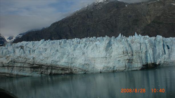
This one is called the Margarie Glacier. You can clearly see the alternate layers of dust and ice showing the year over year buildup of snow.
When I took this picture the ship was about 1/4 mile from the face of the glacier, so you can imagine how tall this is.

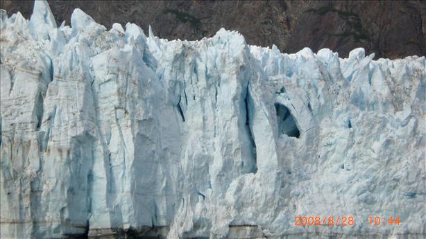
Here's a close up of a crevasse. Farther up the valley the surface of the glacier is smooth enough to walk on, but near the edge the glacier breaks up to these big chunks.

Sometimes these chunks fall off to make an iceberg, a process called "calving". It's quite a spectacular site.
We saw some small calving events. The water in the bay was very still and the ship was not moving so there were no waves. Until the big ice chunks fell in.
Someone got a good video of a larger calving event on 26 June, 2008. As it happens, they were on the same ship, on an earlier trip.
![]()
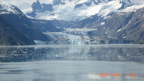
This is the Johns Hopkins glacier.
All the icebergs we encountered in the bay were at most a few feet across. Nothing like in Titanic.

![]()
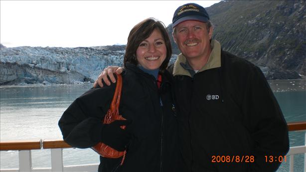
We got another passinger to take this picture of us in front of the Lamplugh Glacier:

![]()